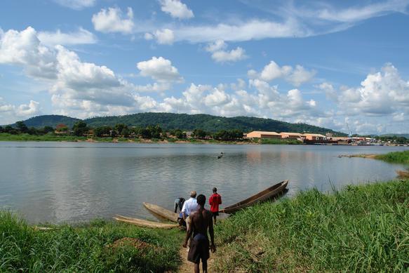
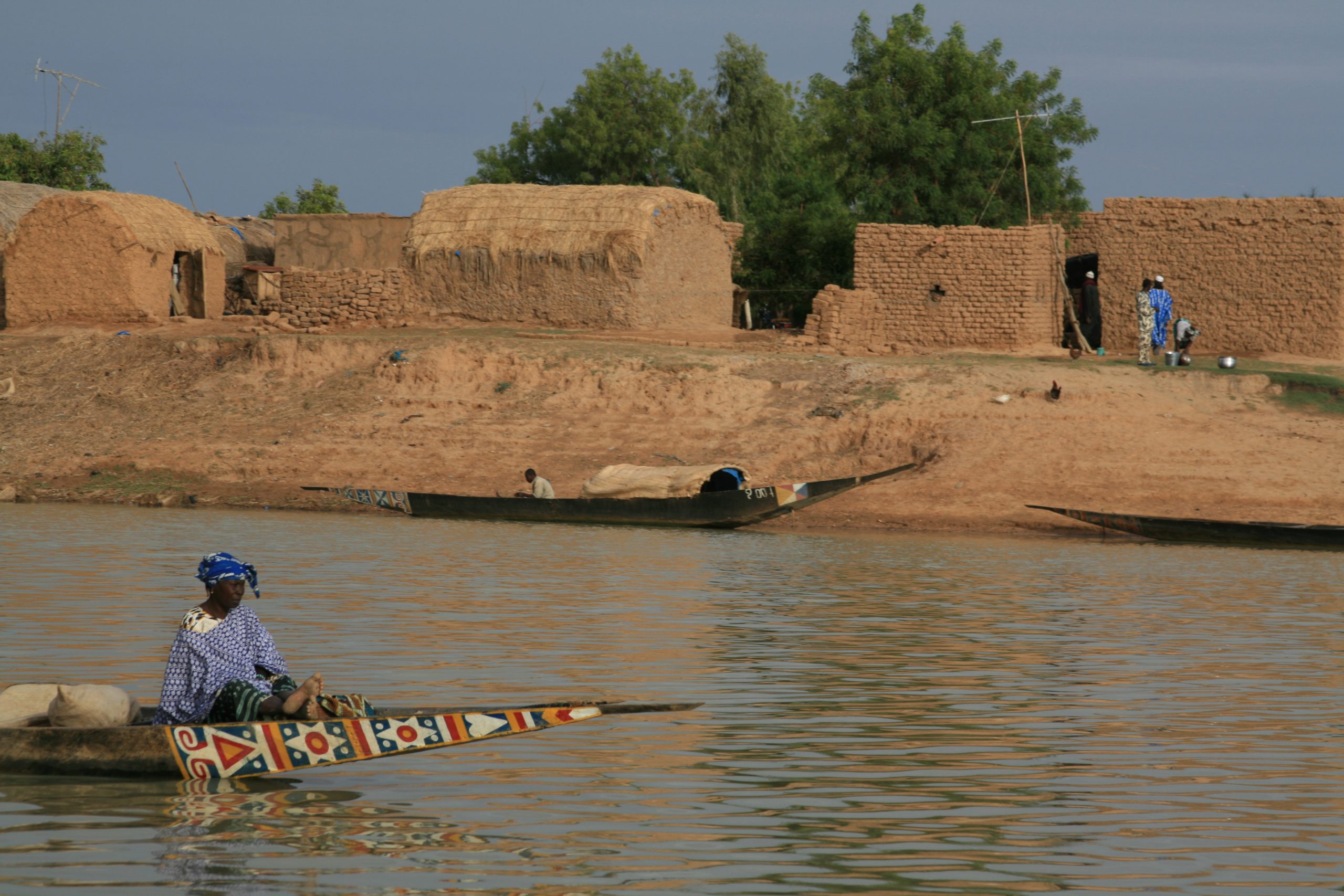
(1)River Nile Uganda Africa
Length: 6,650 km (4,132mi)
Route Countries of flow: Uganda, south Sudan, Sudan,
Ethiopia and Egypt,
The Nile
River Nile starts flowing from Jinja in Uganda, the Nile emerges from Lake Victoria as the Victoria Nile and travels northwards, passing through two other Equatorial Lakes – Kyoga and Albert. Through these two Lakes, the Nile captures runoff from two mountainous and high-rainfall areas (Mount Rwenzori and mount Elgon) on the southwestern and southeastern peripheries of the basin.
The river re-emerges from Lake Albert as the Albert Nile and journeys northwards to Nimule near the South Sudan–Uganda border. From this point, the river, now known as the Bahr el Jebel (meaning river of the mountains), flows over the Fula rapids and through the Sudd before meeting the Bahr el Ghazal (meaning river of the gazelles) at Lake No. The Bahr el Ghazal drains high rainfall areas of western South Sudan. From Lake No, the river turns eastwards to join with the Sobat River, which carries high, seasonally variable, flows originating in the Ethiopian Highlands.
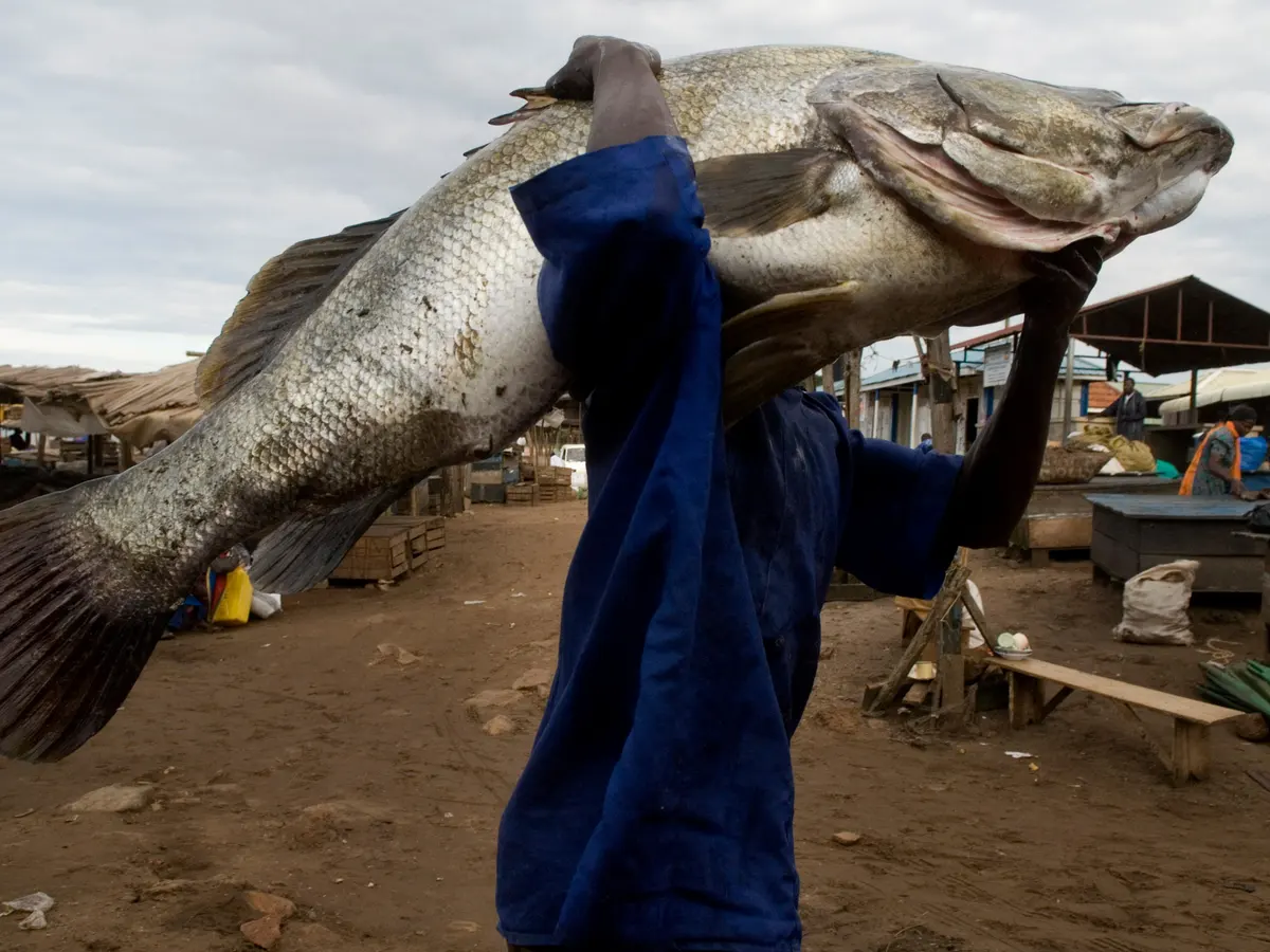
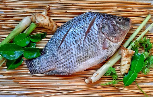
Nile fish:
Many varieties of fish are found in the Nile system. Notable among those found in the lower Nile system are the Nile perch (which may attain a weight of more than 175 pounds), the bolti (a species of Tilapia), the barbel, several species of catfish, the elephant-snout fish, and the tigerfish, or water leopard.
Type of vegetation along river Nile
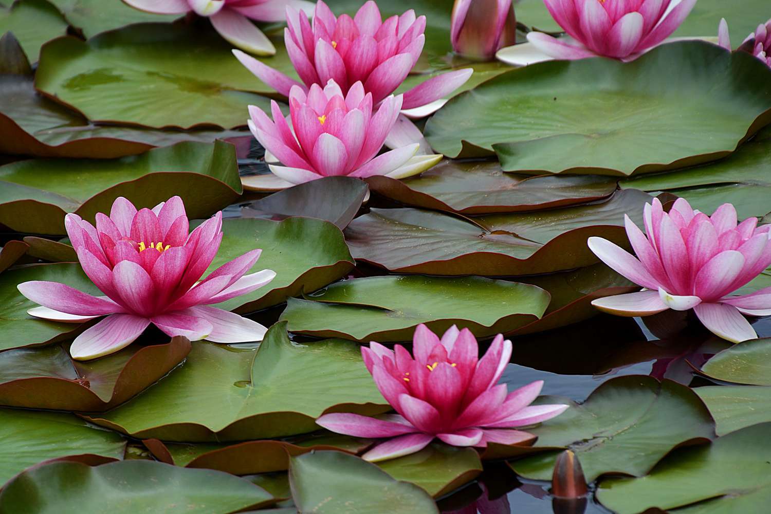
The rivers are commonly fringed by gallery forests and herbaceous littoral vegetation. The latter is dominated by papyrus, common reed (Phragmites australis), water lily, Nile cabbage (Pistia stratiotes), and occasionally water hyacinth.
The Papyrus. The papyrus plant is found along the Nile River. Not only did the ancient Egyptians famously use the stem of the papyrus plant to make paper, they also used it to make sails, cloth, mats, and cords.

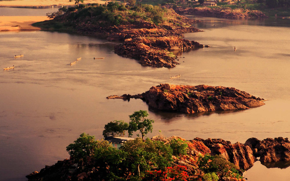
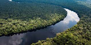
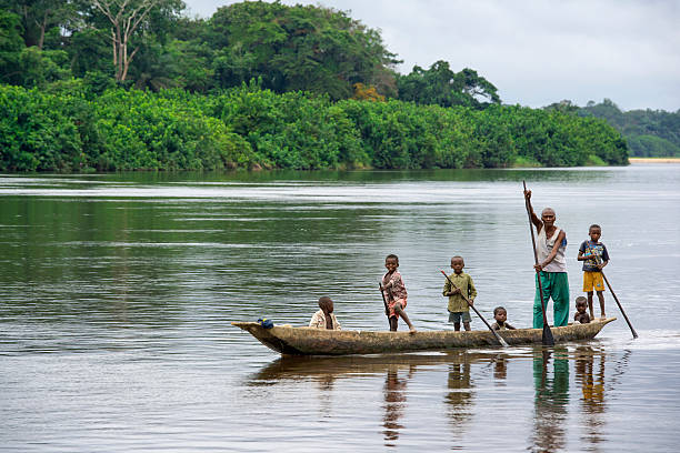
(2)River Congo
Length: 4,700 km
Route Countries of flow: Cameroon, Central African Republic, Democratic Republic of the Congo, Republic of the Congo, Equatorial Guinea and Gabon.
The River Congo
The Congo River, formerly also known as the Zaire River, is the second longest river in Africa, shorter only than the Nile, as well as the second largest river in the world by discharge volume, following only the Amazon. It is also the world’s deepest recorded river, with measured depths around 219.5 m.
The Congo River is the most powerful river in Africa. During the rainy season over 50,000 cubic metres (1,800,000 cu ft) of water per second flows into the Atlantic Ocean. Opportunities for the Congo River and its tributaries to generate hydropower are therefore enormous.
(3)River Niger
Length: 4,200 km (2,611 mi)
Route Countries of flow: Niger, Nigeria, Mali, Benin, Guinea
The river Niger
Niger River is the third longest river in Africa, the principal river of western Africa and eleventh longest in the world, extending about 4,200 km (2,611 mi). The river flows through: Algeria, Burkina Faso, Benin, Cameroon, Chad, Côte d’Ivoire, Guinea, Mali, Niger and Nigeria. Its main tributary is the Benue River. The Niger River is the main river of West Africa, extending about 4,180 km. Its drainage basin is 2,117,700 km² in area. Its source is in the Guinea Highlands in south-eastern Guinea near the Sierra Leone border.
The name may Niger come from a Berber phrase ger-n-ger meaning “river of rivers”. As Timbuktu was the southern end of the principal Trans-Saharan trade route to the western Mediterranean, it was the source of most European knowledge of the region.
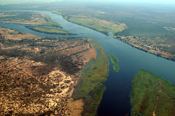
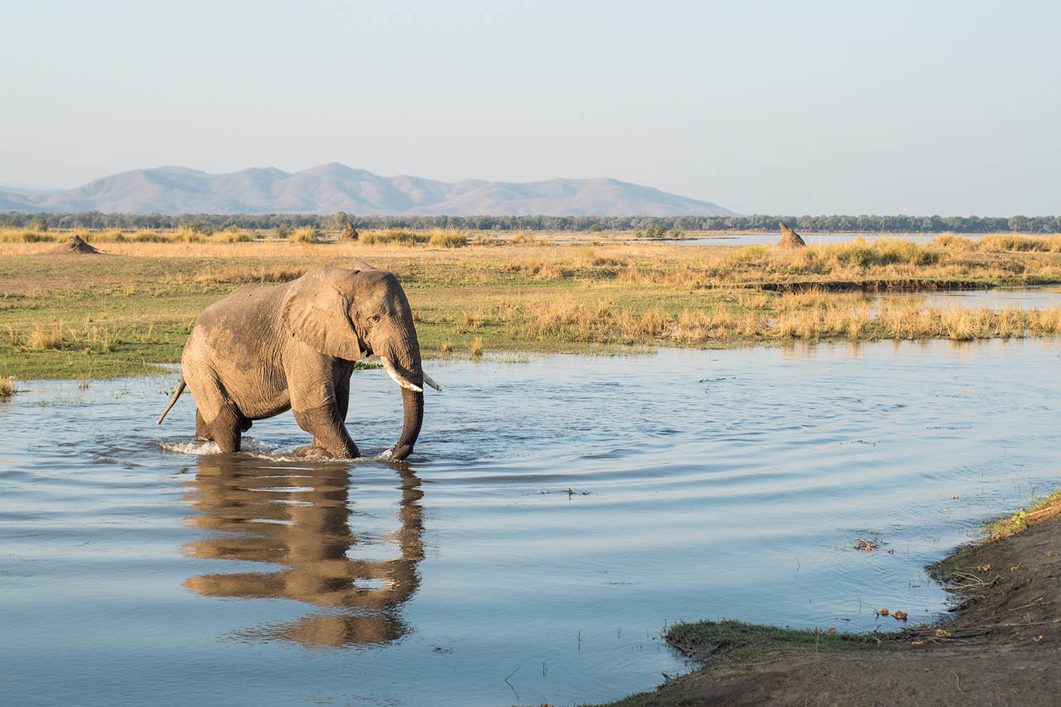
(4) River Zambezi
Length: 4,200 km (2,611 mi)
Route Countries of flow: Angola, Zambia, Zimbabwe, Botswana, Malawi, Mozambique,
The Zambezi River
River Zambezi is the fourth longest river in Africa and the largest flowing into the Indian Ocean from Africa. The area of its basin is 1,390,000 square kilometres and the depth of 2,693 km (1,673 mi).
The Zambezi River is the fourth-longest river in Africa, the longest east-flowing river in Africa and the largest flowing into the Indian Ocean from Africa.
The Zambezi River flows through numerous game reserves and national parks, providing sustenance to a diverse array of game, birdlife and fish species. The Zambezi is not only a major tourist attraction but also a lifeline and a constant source of income
(5)River Ubangi
Length:1,060 kilometres (660 mi)
Route Countries of flow: marks the border between the Central African Republic and the Democratic Republic of the Congo (DRC)
The Ubangi river
The Ubangi River, also spelled Oubangui, is the largest right-bank tributary of the Congo River in the region of Central Africa. It begins at the confluence of the Mbomou and Uele Rivers and flows west, forming the border between Central African Republic and Democratic Republic of the Congo.
Ubangi River, also spelled Oubangui River, largest bank tributary of the Congo River, marking the border between the Democratic Republic of the Congo (Kinshasa) and the Republic of the Congo